MAPPING
Rutzen Survey Services is here to meet all your mapping needs large and small. Give Tim a call to discuss turning your vision into a reality. At Rutzen Survey Services we encourage pushing the limits to create a visually exciting map all while depicting all of your mapping needs clearly.
Mapping Services
With our wealth of experience in various CAD programs, ESRI ArcGIS and the fact that Tim Rutzen is a licensed surveyor that understands the manipulation of the data available on the web, the possibilities are endless.
More About Mapping
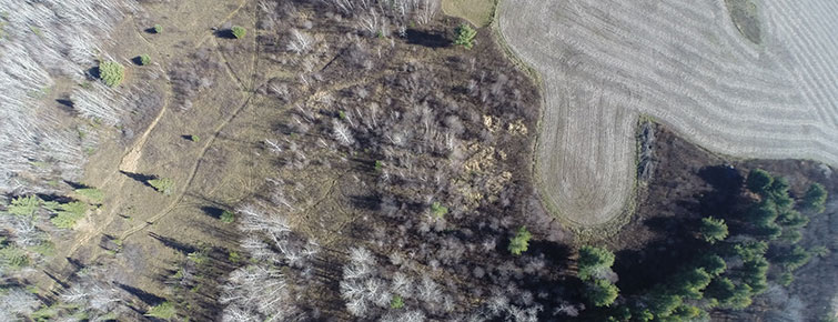
We can custom tailor any map to any extent of detail to specifically meet your needs. Whether it is residential property that you might want mapped to create a landscaping plan or your rural hunting property that you would like mapped with your favorite deer stands, food plots, trails and cabin. Whatever your mapping desire is, we are confident that we can meet and exceed your expectations.
Just some of the features that can be added to your map, may consist of:
- Current Color or black and white aerial background images
- 1938 historical imagery
- Approximate boundary lines (or survey grade if a survey is performed)
- Planned construction
- Lakes, rivers, creeks
- Existing utility lines
- Contour elevation lines
- Fence lines
- Roads and trails
- Building
- Deer stands
- Deer travel corridors
Typical Map sizes
- 11”x17”
- 22”x34”
- 24”x36”
Larger Formats available upon request